Terreye SPRL


Correspondence: Français, English
Operation Level: International

Address: Chemin Du Cyclotron, 6
1348 Louvain-La-Neuve Belgium
Phone: +32 48 599 62 82
Web: http://www.terreye.com


LAND MONITORING 
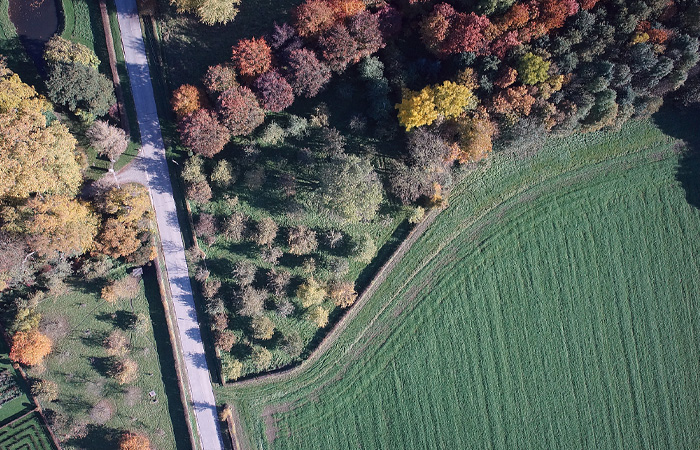
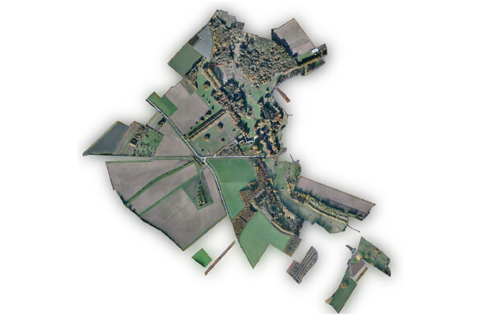
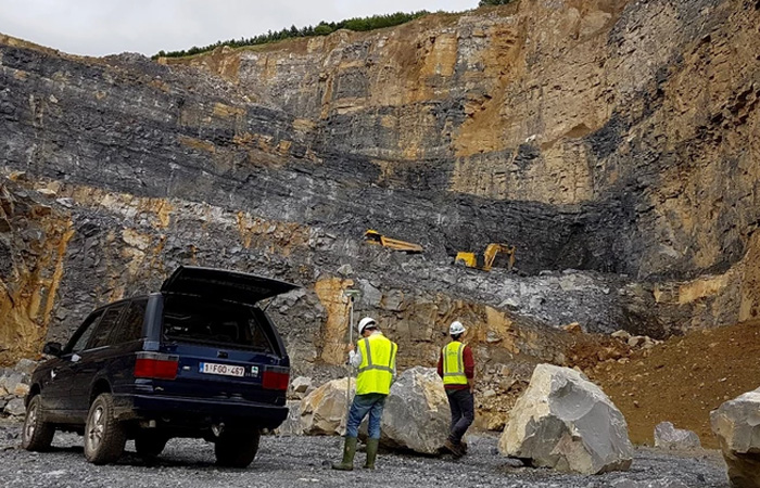
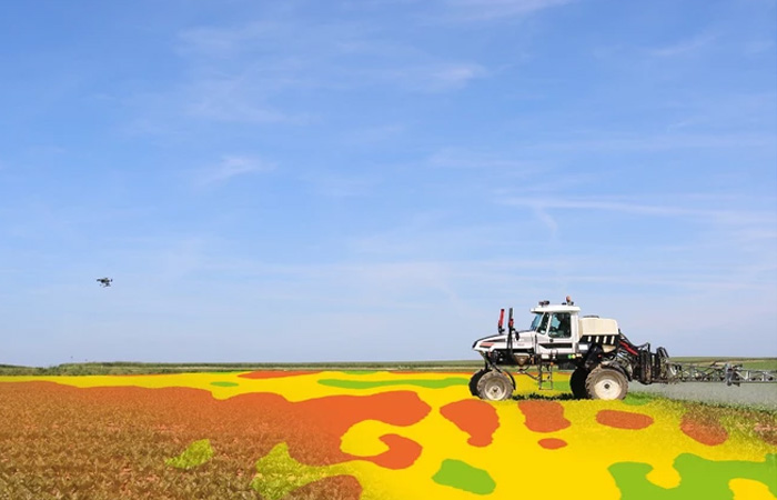
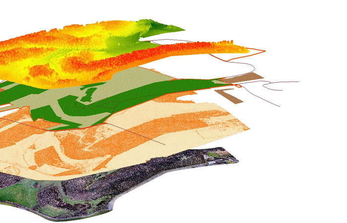
A precise and up-to-date inventory of natural resources and real-estate patrimony is an essential prerequisite for the implementation of sustainable land management. According to the mission, multiple information of the studied area can be demonstrated on a cartographic base-map: Land use, suitability, zoning and accessibility.

FOREST INVENTORY By means of additional sensors mounted underneath the UAV, overlapping images are collected over the area of interest. These images can then be used to produce 3D data which can in turn be used to predict forest biophysical characteristics (e.g. timber volume, basal area, stem number, and mean height).

SURVEYING & MAPPING The value of geospatial technology through aerial data acquisition lies in facilitating decision making, effectively managing resources and assets, enhancing the efficiency of workflows, and improving the accessibility of rapid information.

CROP MONITORING Agricultural resources are among the most important renewable in the world today. An accurate, comprehensive and timely availability of relevant data is therefore imperative to the implementation of effective management procedures. When the results are coupled with targeted soil testing, exceptionally precise treatment can be applied.

La cartographie au service de l'exploitation agricole et forestier

FOIRE LIBRAMONT
International agricultural and forestry fair
26/07/2024 - 29/07/2024
Location Foire de Libramont WALEXPO
Libramont
Belgium